Home
Historic Maps
Menu
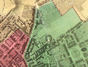
Part of Plumley and Ashmead's map of 1828. Click the map for a larger version.
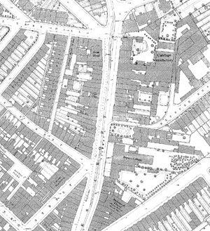
Part of the 1884, 1:500 OS plan covering the northern area of Stokes Croft. Click the map for a larger version.