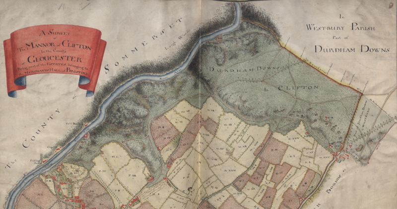
This is a map of the Downs made in 1746. The small red blocks are buildings and the ones nearest the right hand side of the picture are at the top of Blackboy Hill, near the original site of St John's Primary School.

St John's Local Learning |
|
This is a map of the Downs made in 1746. The small red blocks are buildings and the ones nearest the right hand side of the picture are at the top of Blackboy Hill, near the original site of St John's Primary School. |